Trail n°4 - Sommet du Martignon
Add to my favorites

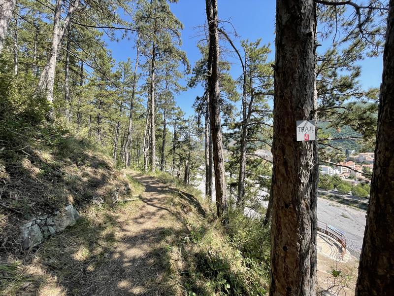
From the Tourist Office, cross the Bléone and take the Caguernard path which runs along the river and pass in front of the Promenade Museum (Géoparc de Haute Provence).
The characteristics of the route.

Digne-les-Bains (04)
- Distance 17.02 km
- Elevation gain 1060 m
- Elevation lost 1060 m
- Min. elevation 588 m
- Max. elevation. 1424 m
- Duration (depending on pace) 3h
- Suivre le balisage Yes

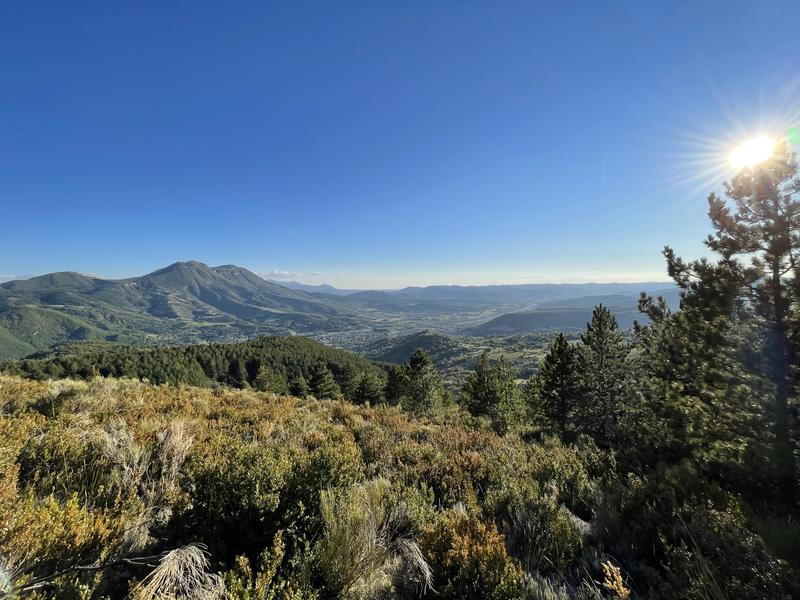
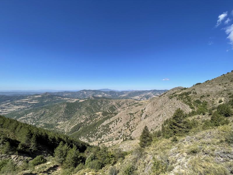
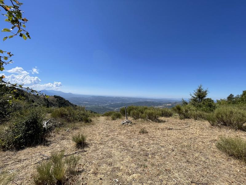
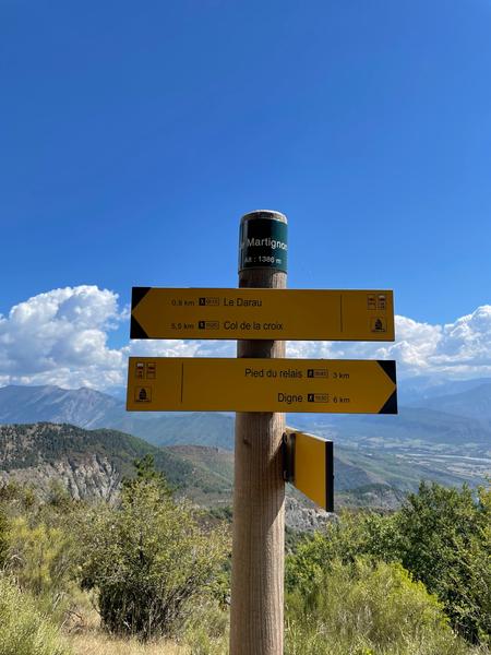
Go up the Vallon de Gévaudan to the ruined hamlet of the same name, and reach the crest of Darau then the summit of Martignon. Very nice view of the Siron and the Massif des 3 Evêchés. Go back down towards Digne, passing near the summit of Andran. Then return to the Tourist Office.
Area : Digne-les-Bains
Report a problem
THIS ROUTE IN YOUR MOBILE PHONE
Download Provence Alpes Outdoor app
Get all the routes on your smartphone with the Provence Alpes outdoor app. You'll find a host of functions :
- Take advantage of detailed IGN maps
- Download data for consultation even when you're not connected to the network
- Geolocate yourself at any time on the route and altimeter profile
- Activate the off-track alarm to be alerted if you stray from the itinerary
- Find nearby services
- Share your experience (add a report, share your lap time)...

Add your time and share your feelings


Information updated on 2025-06-13 by Office de Tourisme Provence Alpes Digne les Bains


Provence Alpes Digne-les-Bains tourist office
+ 33(0)4 92 36 62 62
Tourist office
contact mail
Val de Durance – Château-Arnoux tourist office
+33 (0)4 92 64 02 64
Tourist office
contact mail
![]()
Moustiers-Sainte-Marie Tourist office
+ 33(0)4 92 74 67 84
Tourist office
contact mail
Seyne - Blanche Serre-Ponçon Tourist office
+33 (0)4 92 35 11 00
Tourist office
contact mail
 Provence Alpes Outdoor - Parcours - Trail n°4 - Sommet du Martignon
Hello, world! This is a toast message.
Provence Alpes Outdoor - Parcours - Trail n°4 - Sommet du Martignon
Hello, world! This is a toast message.
Provence Alpes Outdoor - Parcours - Trail n°4 - Sommet du Martignon
Hello, world! This is a toast message.


OK
Annuler