Trail n°5 - Plein Voir
Add to my favorites

A very demanding itinerary, both physically and because of the technical nature of certain sections. It is intended for seasoned hikers (about 18 km for 1400 m of D+!)
The characteristics of the route.

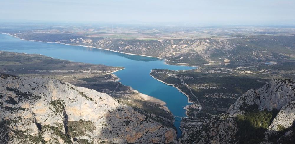
Moustiers-Sainte-Marie (04)
- Distance 22.56 km
- Elevation gain 1620 m
- Elevation lost 1620 m
- Min. elevation 515 m
- Max. elevation. 1211 m
- Duration (depending on pace) 4h
- Suivre le balisage Yes

From the round about of La Maison du Parc Naturel Régional du Verdon, go up towards the passes of Âne and Plein Voir. Go to the viewpoints of the Issioule crest before going down towards Saint-Maurin and the Bois de Félines. Then go up to the col de l'Âne.
Descent of 3,5 kilometers rather steep (on the same path as the first one) to regain the starting point.
Although the highest point of this outing is not in the high mountains, expect a real "mountain trail" type of itinerary with: steep segments
(both up and down) + roots and various rocky portions, emblematic of the Verdon area, which will even add to the difficulty of the whole...
Area : Verdon
Report a problem
THIS ROUTE IN YOUR MOBILE PHONE
Download Provence Alpes Outdoor app
Get all the routes on your smartphone with the Provence Alpes outdoor app. You'll find a host of functions :
- Take advantage of detailed IGN maps
- Download data for consultation even when you're not connected to the network
- Geolocate yourself at any time on the route and altimeter profile
- Activate the off-track alarm to be alerted if you stray from the itinerary
- Find nearby services
- Share your experience (add a report, share your lap time)...

Add your time and share your feelings


Information updated on 2025-09-05 by Office de tourisme de Moustiers-Sainte-Marie


Provence Alpes Digne-les-Bains tourist office
+ 33(0)4 92 36 62 62
Tourist office
contact mail
Val de Durance – Château-Arnoux tourist office
+33 (0)4 92 64 02 64
Tourist office
contact mail
![]()
Moustiers-Sainte-Marie Tourist office
+ 33(0)4 92 74 67 84
Tourist office
contact mail
Seyne - Blanche Serre-Ponçon Tourist office
+33 (0)4 92 35 11 00
Tourist office
contact mail
 Provence Alpes Outdoor - Parcours - Trail n°5 - Plein Voir
Hello, world! This is a toast message.
Provence Alpes Outdoor - Parcours - Trail n°5 - Plein Voir
Hello, world! This is a toast message.
Provence Alpes Outdoor - Parcours - Trail n°5 - Plein Voir
Hello, world! This is a toast message.


OK
Annuler