GR®6 – From Ubaye to Provence
Add to my favorites

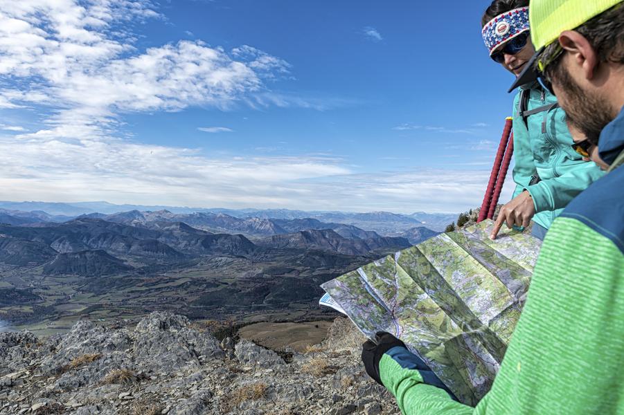
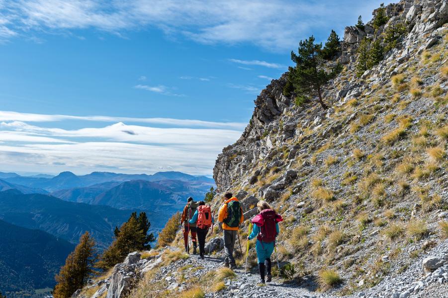
20 days of hiking on the GR® 6, from the Alpes-de-Haute-Provence to the Bouches-du-Rhône. Discover the Lure mountain, the Luberon and the Alpilles.
The characteristics of the route.

Seyne (04)
- Distance 57.12 km
- Elevation gain 3695 m
- Elevation lost 2596 m
- Min. elevation 1078 m
- Max. elevation. 2297 m
- Suivre le balisage Yes

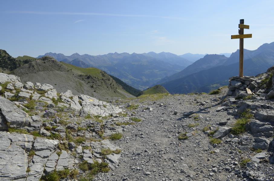
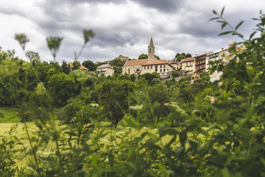
Between Alpine peaks and the Rhone plain, mountain harshness and Mediterranean mildness, the GR® 6 crosses very diverse landscapes with a strong identity: the upper Ubaye valley, the Monges massif and the Lure mountain, the Forcalquier basin, the Vaucluse mountains, the colorful ochres of the Rustrel region, the Petit Luberon and the Alpilles.
The common threads of this vast Provençal territory are strong and living traditions, a surprising biodiversity; a light highlighting the palette of colours, green of the pastures, yellow of the dry stone, blue of the lavender, silver of the olive groves...
The common threads of this vast Provençal territory are strong and living traditions, a surprising biodiversity; a light highlighting the palette of colours, green of the pastures, yellow of the dry stone, blue of the lavender, silver of the olive groves...
Area : Blanche Serre-Ponçon
Report a problem
THIS ROUTE IN YOUR MOBILE PHONE
Download Provence Alpes Outdoor app
Get all the routes on your smartphone with the Provence Alpes outdoor app. You'll find a host of functions :
- Take advantage of detailed IGN maps
- Download data for consultation even when you're not connected to the network
- Geolocate yourself at any time on the route and altimeter profile
- Activate the off-track alarm to be alerted if you stray from the itinerary
- Find nearby services
- Share your experience (add a report, share your lap time)...

Add your time and share your feelings


Information updated on 2025-04-03 by Office de Tourisme Provence Alpes Digne les Bains


Provence Alpes Digne-les-Bains tourist office
+ 33(0)4 92 36 62 62
Tourist office
contact mail
Val de Durance – Château-Arnoux tourist office
+33 (0)4 92 64 02 64
Tourist office
contact mail
![]()
Moustiers-Sainte-Marie Tourist office
+ 33(0)4 92 74 67 84
Tourist office
contact mail
Seyne - Blanche Serre-Ponçon Tourist office
+33 (0)4 92 35 11 00
Tourist office
contact mail
 Provence Alpes Outdoor - Parcours - GR®6 – From Ubaye to Provence
Hello, world! This is a toast message.
Provence Alpes Outdoor - Parcours - GR®6 – From Ubaye to Provence
Hello, world! This is a toast message.
Provence Alpes Outdoor - Parcours - GR®6 – From Ubaye to Provence
Hello, world! This is a toast message.


OK
Annuler