
Short route accessible to all...ideal course to discover the trail and Moustiers's playground ! Its profile, "all in relaunchings", will delight the novices, who will not find it too demanding if it is done at a small pace, and the hardened practitioners, who will enjoy themselves if they complete it at a more sustained pace...

- Distance 12.93 km
- Elevation gain 590 m
- Elevation lost 590 m
- Min. elevation 566 m
- Max. elevation. 972 m
- Duration (depending on pace) 2h
- Suivre le balisage Yes

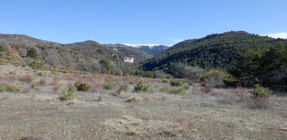
So you won't be surprised. You will have to make a round trip to the modest summit of Castillon. This offers a very interesting panoramic view of the Montdenier massif, the Grand Margès and Lake Sainte-Croix, as well as the charming little village of Saint-Jurs!
Get all the routes on your smartphone with the Provence Alpes outdoor app. You'll find a host of functions :
- Take advantage of detailed IGN maps
- Download data for consultation even when you're not connected to the network
- Geolocate yourself at any time on the route and altimeter profile
- Activate the off-track alarm to be alerted if you stray from the itinerary
- Find nearby services
- Share your experience (add a report, share your lap time)...


Provence Alpes Digne-les-Bains tourist office
+ 33(0)4 92 36 62 62
Tourist office
contact mail
Val de Durance – Château-Arnoux tourist office
+33 (0)4 92 64 02 64
Tourist office
contact mail
![]()
Moustiers-Sainte-Marie Tourist office
+ 33(0)4 92 74 67 84
Tourist office
contact mail
Seyne - Blanche Serre-Ponçon Tourist office
+33 (0)4 92 35 11 00
Tourist office
contact mail
 Provence Alpes Outdoor - Parcours - Trail n°2 – En Naups
Provence Alpes Outdoor - Parcours - Trail n°2 – En Naups
Provence Alpes Outdoor - Parcours - Trail n°2 – En Naups
Provence Alpes Outdoor - Parcours - Trail n°2 – En Naups
Provence Alpes Outdoor - Parcours - Trail n°2 – En Naups

