Tour du château
Add to my favorites

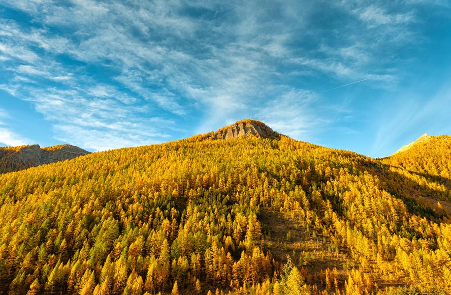
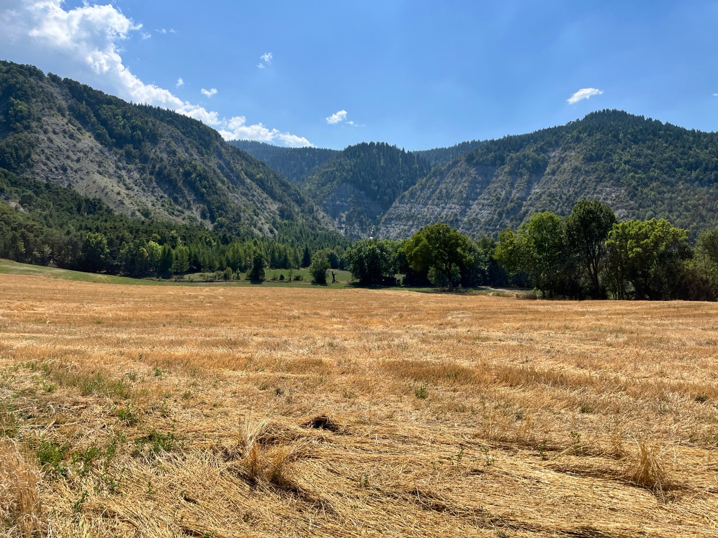
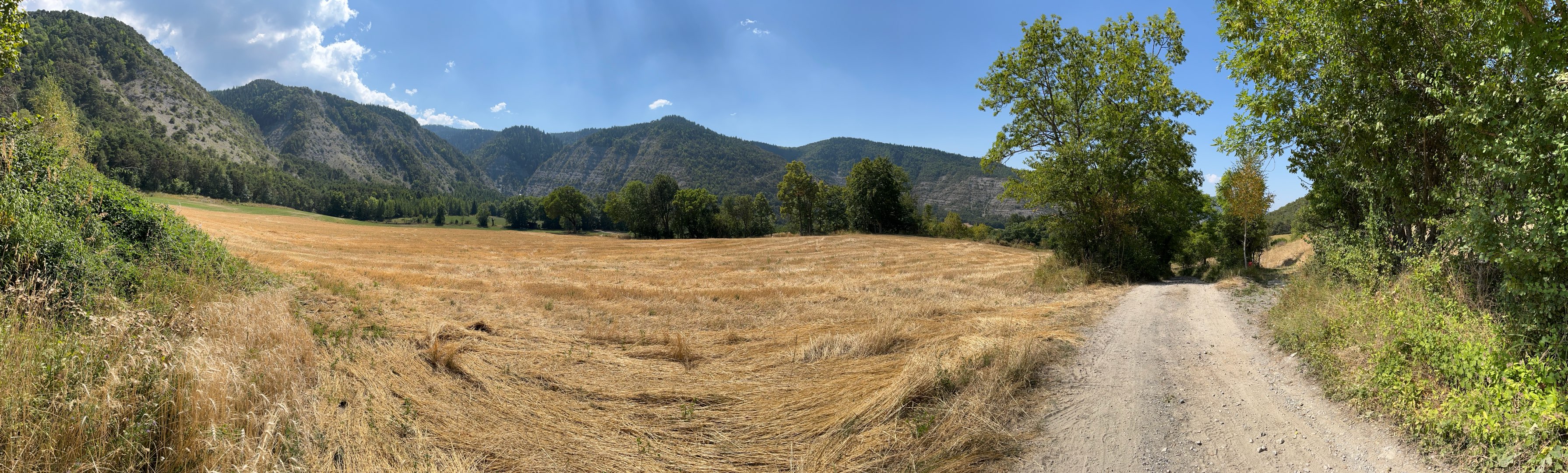
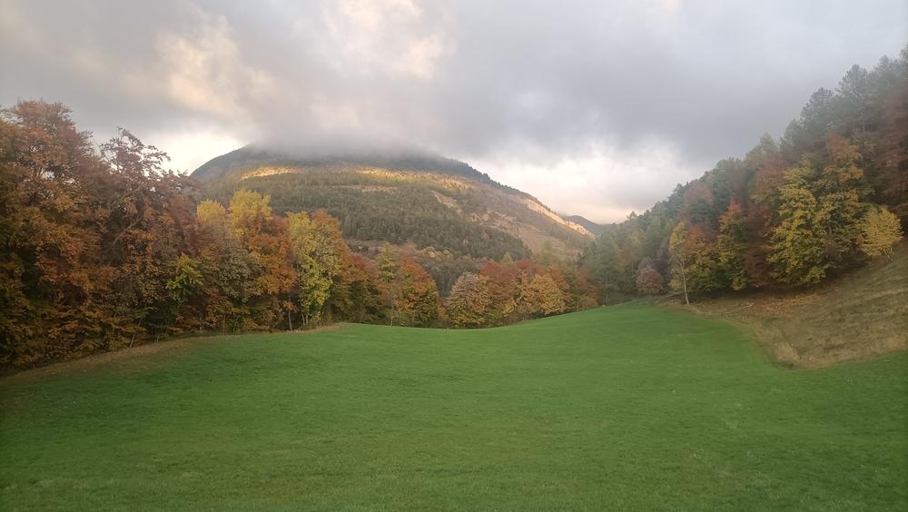
Circuit in the forest, alternating track and trail to the point of view on the valley, the village and the tower Lesdiguières.
The characteristics of the route.

Selonnet (04)
- Distance 6.59 km
- Elevation gain 220 m
- Elevation lost 220 m
- Min. elevation 1058 m
- Max. elevation. 1236 m
- Duration (depending on pace) 2h30
- Suivre le balisage Yes


Area : Blanche Serre-Ponçon
Report a problem
THIS ROUTE IN YOUR MOBILE PHONE
Download Provence Alpes Outdoor app
Get all the routes on your smartphone with the Provence Alpes outdoor app. You'll find a host of functions :
- Take advantage of detailed IGN maps
- Download data for consultation even when you're not connected to the network
- Geolocate yourself at any time on the route and altimeter profile
- Activate the off-track alarm to be alerted if you stray from the itinerary
- Find nearby services
- Share your experience (add a report, share your lap time)...

regis_13
finished in 02:15:00
The 2025/08/12
En savoir plus
Ajouter votre chrono et partager vos sensations


Information updated on 2025-07-18 by Office de Tourisme Provence Alpes Digne les Bains


Provence Alpes Digne-les-Bains tourist office
+ 33(0)4 92 36 62 62
Tourist office
contact mail
Val de Durance – Château-Arnoux tourist office
+33 (0)4 92 64 02 64
Tourist office
contact mail
![]()
Moustiers-Sainte-Marie Tourist office
+ 33(0)4 92 74 67 84
Tourist office
contact mail
Seyne - Blanche Serre-Ponçon Tourist office
+33 (0)4 92 35 11 00
Tourist office
contact mail
 Provence Alpes Outdoor - Parcours - Tour du château
Hello, world! This is a toast message.
Provence Alpes Outdoor - Parcours - Tour du château
Hello, world! This is a toast message.
Provence Alpes Outdoor - Parcours - Tour du château
Hello, world! This is a toast message.


OK
Annuler