
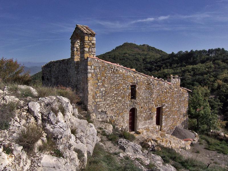
This route takes place in the former commune of Augès (now part of Peyruis). It offers a lovely viewpoint and allows you to discover rural buildings that bear witness to the agricultural past. Starting from the low pass about 6km from Peyruis, head towards Les Martrons.

- Distance 1.92 km
- Elevation gain 60 m
- Elevation lost 60 m
- Min. elevation 713 m
- Max. elevation. 762 m
- Duration (depending on pace) 0h45
- Suivre le balisage Yes

Get all the routes on your smartphone with the Provence Alpes outdoor app. You'll find a host of functions :
- Take advantage of detailed IGN maps
- Download data for consultation even when you're not connected to the network
- Geolocate yourself at any time on the route and altimeter profile
- Activate the off-track alarm to be alerted if you stray from the itinerary
- Find nearby services
- Share your experience (add a report, share your lap time)...


Provence Alpes Digne-les-Bains tourist office
+ 33(0)4 92 36 62 62
Tourist office
contact mail
Val de Durance – Château-Arnoux tourist office
+33 (0)4 92 64 02 64
Tourist office
contact mail
![]()
Moustiers-Sainte-Marie Tourist office
+ 33(0)4 92 74 67 84
Tourist office
contact mail
Seyne - Blanche Serre-Ponçon Tourist office
+33 (0)4 92 35 11 00
Tourist office
contact mail
 Provence Alpes Outdoor - Parcours - Circuit de la Chapelle d'Auges
Provence Alpes Outdoor - Parcours - Circuit de la Chapelle d'Auges
Provence Alpes Outdoor - Parcours - Circuit de la Chapelle d'Auges
Provence Alpes Outdoor - Parcours - Circuit de la Chapelle d'Auges
Provence Alpes Outdoor - Parcours - Circuit de la Chapelle d'Auges

