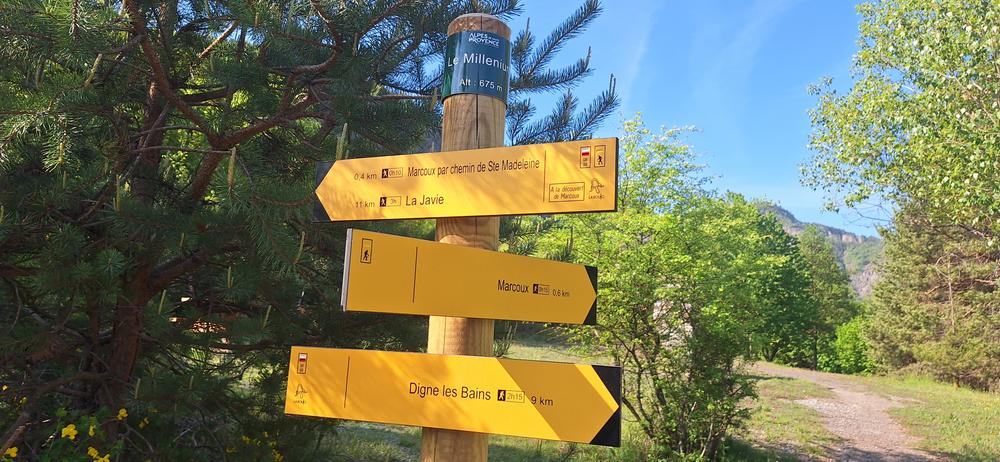
Sentier de découverte de Marcoux
Add to my favorites

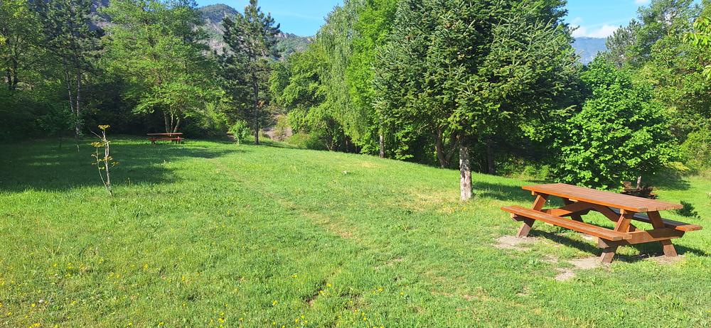
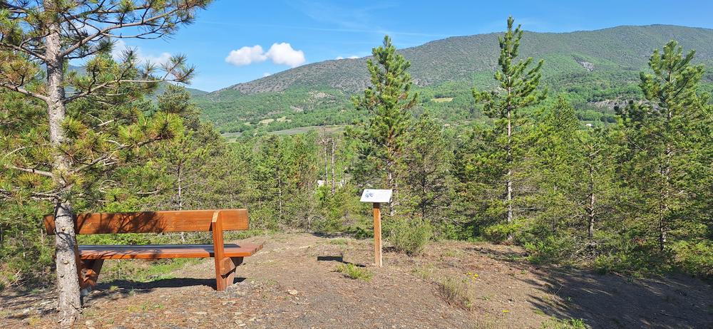
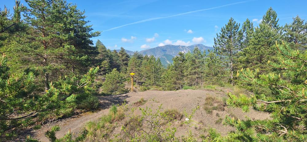
This discovery route departing from the village allows you to explore the landscapes, biodiversity, geology, and heritage of Marcoux via educational displays installed along the path.
The characteristics of the route.

Marcoux (04)
- Distance 1.4 km
- Elevation gain 80 m
- Elevation lost 80 m
- Min. elevation 673 m
- Max. elevation. 732 m
- Duration (depending on pace) 1h
- Suivre le balisage Yes


Surrounded by millions-of-years-old black marl formations (robines), this village offers benches and picnic tables along the trail, with a drinking fountain located in the village center.
Area : Digne-les-Bains
Report a problem
THIS ROUTE IN YOUR MOBILE PHONE
Download Provence Alpes Outdoor app
Get all the routes on your smartphone with the Provence Alpes outdoor app. You'll find a host of functions :
- Take advantage of detailed IGN maps
- Download data for consultation even when you're not connected to the network
- Geolocate yourself at any time on the route and altimeter profile
- Activate the off-track alarm to be alerted if you stray from the itinerary
- Find nearby services
- Share your experience (add a report, share your lap time)...

Add your time and share your feelings


Information updated on 2026-06-01 by Office de Tourisme Provence Alpes Digne les Bains


Provence Alpes Digne-les-Bains tourist office
+ 33(0)4 92 36 62 62
Tourist office
contact mail
Val de Durance – Château-Arnoux tourist office
+33 (0)4 92 64 02 64
Tourist office
contact mail
![]()
Moustiers-Sainte-Marie Tourist office
+ 33(0)4 92 74 67 84
Tourist office
contact mail
Seyne - Blanche Serre-Ponçon Tourist office
+33 (0)4 92 35 11 00
Tourist office
contact mail
 Provence Alpes Outdoor - Parcours - Sentier de découverte de Marcoux
Hello, world! This is a toast message.
Provence Alpes Outdoor - Parcours - Sentier de découverte de Marcoux
Hello, world! This is a toast message.
Provence Alpes Outdoor - Parcours - Sentier de découverte de Marcoux
Hello, world! This is a toast message.


OK
Annuler